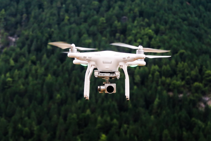
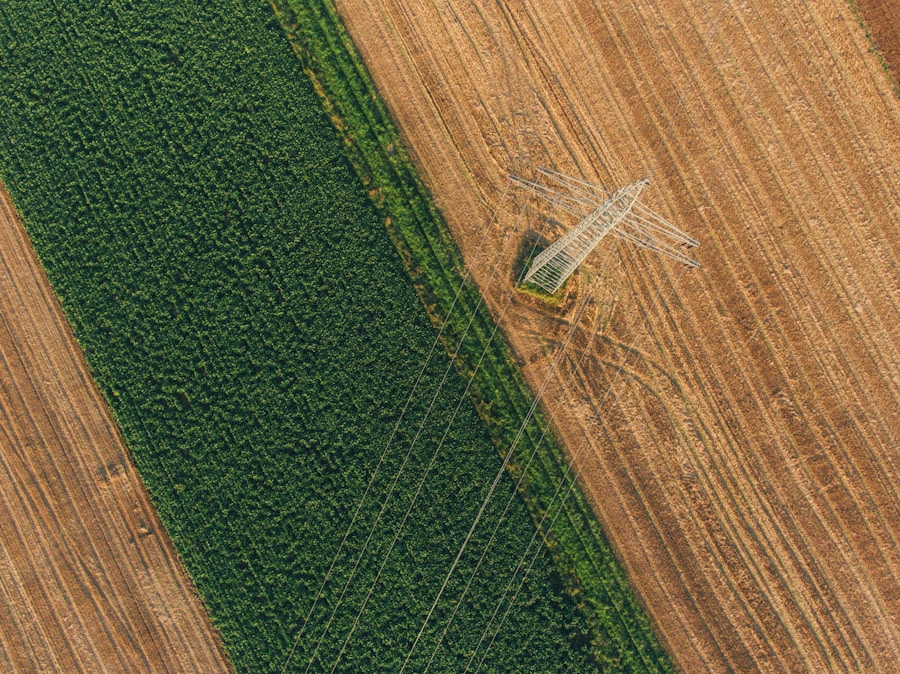
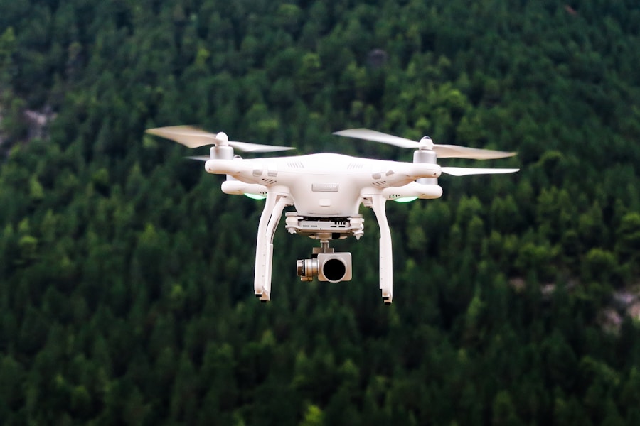
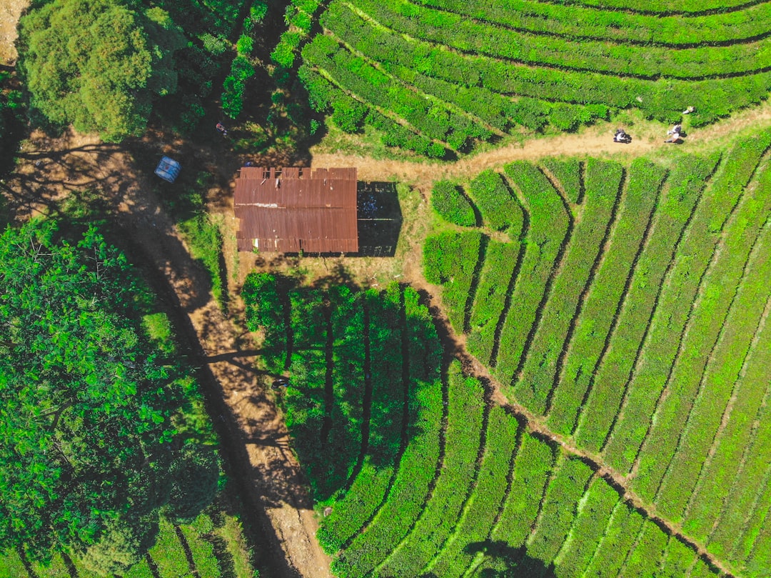
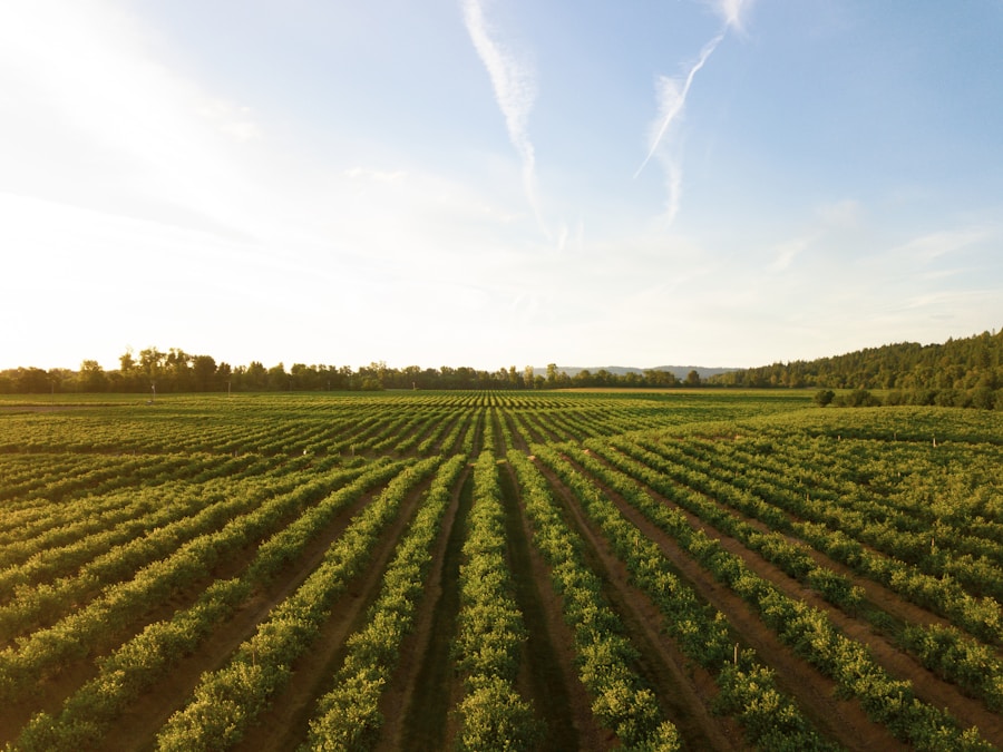
[:yn]Yn ystod y blynyddoedd diwethaf, Mae'r sector amaethyddol wedi bod yn dyst i ymchwydd sylweddol wrth fabwysiadu technoleg mapio drôn. Cerbydau awyr di -griw (Cerbydau Awyr Di -griw), y cyfeirir atynt yn gyffredin fel dronau, have transformed the way farmers manage their crops and land. Yn meddu ar gamerâu a synwyryddion cydraniad uchel, these remote-controlled aircraft capture detailed images and data of farmland, providing farmers with valuable insights into their crops, soil, and overall farm management.
The popularity of drones in agriculture can be attributed to their ability to rapidly and efficiently cover large areas of land, furnishing farmers with real-time data to make informed decisions. The integration of drone mapping technology in agriculture has unlocked new opportunities for farmers to enhance their crop management practices. Trwy ddefnyddio dronau, Gall ffermwyr fonitro iechyd cnydau, canfod ardaloedd o bla neu afiechydon, ac asesu cyflwr cyffredinol eu meysydd.
Mae hyn yn galluogi ffermwyr i nodi a mynd i'r afael yn gyflym â materion a allai effeithio ar gynnyrch cnwd, gan arwain yn y pen draw at arferion ffermio mwy effeithlon a chynaliadwy. Ymhellach, Mae technoleg mapio drôn yn caniatáu i ffermwyr greu mapiau manwl o'u meysydd, rhoi gwybodaeth werthfawr iddynt am gyfansoddiad y pridd, lefelau lleithder, a thopograffi. Gellir defnyddio'r data hwn i greu cynlluniau plannu a dyfrhau manwl gywir, gan arwain at reoli dŵr ac adnoddau mwy effeithlon.
Tecawêau allweddol
- Mae technoleg mapio drôn yn chwyldroi arferion ffermio trwy ddarparu data manwl ac amser real ar gyfer rheoli cnydau.
- Ymhlith y buddion o ddefnyddio dronau ar gyfer ffermio mae mwy o effeithlonrwydd, Costau Llai, a gwell cynnyrch cnwd.
- Er gwaethaf y manteision, Mae yna heriau a chyfyngiadau i'w hystyried, megis cyfyngiadau rheoleiddio a materion technegol.
- Integrating drone technology into farming practices can lead to more sustainable agriculture and better environmental management.
- Successful case studies demonstrate the potential of drone mapping in farming, but regulatory and ethical considerations must also be taken into account for responsible use.
Sut mae dronau yn chwyldroi arferion ffermio
Gwell monitro cnydau
Drones have changed the game by allowing farmers to quickly and accurately survey their fields from above, providing them with a comprehensive view of their entire operation. This aerial perspective enables farmers to identify potential issues early on, megis diffygion maetholion, irrigation problems, or pest outbreaks, allowing them to take proactive measures to address these issues.
Advanced Data Collection
Ymhellach, drones have the ability to collect a wide range of data beyond just visual images. They can be equipped with various sensors, megis camerâu aml -olwg neu thermol, to capture detailed information about crop health and environmental conditions. This data can be used to create precise maps and models of the farmland, rhoi mewnwelediadau gwerthfawr i ffermwyr i iechyd a chynhyrchedd cyffredinol eu cnydau.
Rheoli Cnydau Optimeiddiedig
Trwy ysgogi'r data hwn, Gall ffermwyr wneud penderfyniadau gwybodus am blannu, ffrwythloni, a rheoli plâu, yn y pen draw gan arwain at well cynnyrch cnydau ac effeithlonrwydd adnoddau. Gyffredinol, Mae dronau yn chwyldroi arferion ffermio trwy ddarparu offeryn pwerus i ffermwyr i wneud y gorau o'u strategaethau rheoli cnydau a gwella cynhyrchiant ffermydd cyffredinol.
Buddion defnyddio dronau ar gyfer ffermio a rheoli cnydau
Mae defnyddio dronau ar gyfer ffermio a rheoli cnydau yn cynnig ystod eang o fuddion i ffermwyr. Un o fanteision mwyaf arwyddocaol defnyddio dronau yw eu gallu i gwmpasu ardaloedd mawr o dir yn gyflym ac yn effeithlon. Mae hyn yn caniatáu i ffermwyr arolygu eu meysydd yn amlach a gyda mwy o gywirdeb na dulliau traddodiadol, darparu data amser real iddynt i wneud penderfyniadau gwybodus am eu cnydau.
Hefyd, drones can access hard-to-reach or hazardous areas of the farm that may be difficult or dangerous for humans to access, such as steep slopes or dense vegetation. This enables farmers to gather comprehensive data about their entire operation, leading to improved crop management practices. Ymhellach, drones provide farmers with a cost-effective solution for monitoring and managing their crops.
Traditional methods of crop monitoring often require significant time and labor resources, as well as expensive equipment such as satellite imagery or manned aircraft. Drones offer a more affordable alternative, allowing farmers to collect high-quality data at a fraction of the cost. This cost-effectiveness makes drone technology accessible to a wide range of farmers, regardless of the size or scale of their operation.
Hefyd, the use of drones can lead to more sustainable farming practices by reducing the need for chemical inputs and water usage through more precise and targeted crop management.
Overcoming Challenges and Limitations of Drone Mapping in Agriculture
| Drone Mapping Technology | Benefits |
|---|---|
| Increased Efficiency | Reduces time and labor required for traditional field mapping |
| Amaethyddiaeth fanwl | Allows for targeted application of resources based on detailed field data |
| Yield Monitoring | Provides real-time data on crop health and potential yield |
| Arbedion Cost | Reduces input costs and improves overall farm profitability |
While drone mapping technology offers numerous benefits for farming and crop management, there are also challenges and limitations that need to be addressed. One of the main challenges is the complexity of processing and analyzing the large amounts of data collected by drones. High-resolution images and sensor data can generate massive datasets that may be difficult for farmers to interpret and utilize effectively.
Hefyd, there may be limitations in the accuracy and reliability of drone data, particularly in challenging environmental conditions such as strong winds or low light. These factors can impact the quality of the data collected by drones, potentially leading to inaccurate or incomplete information for farmers. Another challenge is the regulatory framework surrounding the use of drones in agriculture.
Many countries have strict regulations governing the use of drones, particularly in agricultural settings where they may pose safety or privacy concerns. Rhaid i ffermwyr lywio'r rheoliadau hyn i sicrhau cydymffurfiad â chyfyngiadau gofod awyr a deddfau preifatrwydd wrth ddefnyddio dronau ar eu ffermydd. Hefyd, Efallai y bydd ystyriaethau moesegol yn gysylltiedig â defnyddio dronau mewn amaethyddiaeth, megis effeithiau posibl ar fywyd gwyllt neu eiddo cyfagos.
Mae'r heriau hyn yn tynnu sylw at yr angen am ymchwil a datblygu parhaus mewn technoleg drôn i fynd i'r afael â chyfyngiadau a sicrhau eu bod yn cael eu defnyddio'n gyfrifol mewn lleoliadau amaethyddol.
Dyfodol ffermio: Integreiddio technoleg drôn ar gyfer amaethyddiaeth gynaliadwy
The future of farming is closely tied to the integration of drone technology for sustainable agriculture. Wrth i'r boblogaeth fyd -eang barhau i dyfu, there is increasing pressure on farmers to produce more food with limited resources. Drones offer a powerful tool for farmers to optimize their crop management practices and improve overall farm productivity in a sustainable manner.
By leveraging drone technology, farmers can make more informed decisions about resource allocation, leading to reduced environmental impact and improved efficiency in food production. Hefyd, Gall dronau chwarae rhan allweddol mewn amaethyddiaeth fanwl, galluogi ffermwyr i gymhwyso mewnbynnau fel dŵr, gwrteithwyr, a phlaladdwyr yn fwy manwl gywir ac yn effeithiol. Ymhellach, Mae'n debyg y bydd dyfodol ffermio yn gweld datblygiadau parhaus mewn technoleg drôn i fynd i'r afael â'r cyfyngiadau a'r heriau cyfredol.
Mae ymdrechion ymchwil a datblygu yn canolbwyntio ar wella cywirdeb a dibynadwyedd casglu data drôn, yn ogystal â datblygu synwyryddion ac offer dadansoddeg mwy datblygedig i ffermwyr eu defnyddio. Hefyd, mae potensial i integreiddio deallusrwydd artiffisial (AI) ac algorithmau dysgu peiriannau i brosesu data drôn a darparu mewnwelediadau gweithredadwy i ffermwyr. Bydd y datblygiadau hyn yn galluogi ffermwyr i harneisio potensial llawn technoleg drôn ar gyfer amaethyddiaeth gynaliadwy, yn y pen draw gan arwain at gynhyrchu bwyd a rheoli adnoddau yn fwy effeithlon.
Astudiaethau Achos: Gweithredu mapio drôn yn llwyddiannus mewn ffermio
Monitro iechyd cnydau mewn gwinllannoedd
Defnyddiwyd dronau sydd â chamerâu aml -olwg i fonitro grawnwin ar gyfer arwyddion o straen neu afiechyd, caniatáu i reolwyr gwinllan gymryd camau wedi'u targedu i wella iechyd cnydau. Mae'r dull hwn wedi arwain at well ansawdd a chynnyrch grawnwin wrth leihau'r angen am fewnbynnau cemegol.
Monitro erydiad pridd ar dir fferm
Defnyddiwyd dronau i greu mapiau topograffig manwl o gaeau, galluogi ffermwyr i nodi ardaloedd sydd mewn perygl o erydiad a gweithredu mesurau cadwraeth i amddiffyn iechyd y pridd.
Large-Scale Farming Operations
In Australia, drones have been used to monitor wheat crops for signs of disease or nutrient deficiencies, allowing farmers to make timely interventions to protect crop yield. In the United States, drones have been used for precision planting in corn fields, enabling farmers to optimize seed placement for improved germination rates. These case studies highlight the diverse applications of drone mapping technology in farming and demonstrate its potential to improve crop management practices across different agricultural settings.
Regulatory and Ethical Considerations for Drone Use in Agriculture
The use of drones in agriculture raises important regulatory and ethical considerations that must be addressed to ensure responsible use. Mewn llawer o wledydd, there are strict regulations governing the operation of drones in airspace, yn enwedig mewn lleoliadau amaethyddol lle gallant beri risgiau diogelwch i awyrennau staff neu eiddo cyfagos. Rhaid i ffermwyr gydymffurfio â'r rheoliadau hyn trwy gael trwyddedau neu drwyddedau priodol ar gyfer gweithredu drôn ar eu ffermydd.
Hefyd, Efallai y bydd pryderon preifatrwydd yn ymwneud â defnyddio dronau ar gyfer dal delweddau neu ddata ar dir fferm. Rhaid i ffermwyr ystyried ystyriaethau moesegol wrth ddefnyddio dronau i sicrhau nad ydyn nhw'n torri ar hawliau preifatrwydd eiddo neu unigolion cyfagos. Ymhellach, there are ethical considerations related to wildlife conservation when using drones in agriculture.
Drones have the potential to disturb wildlife or nesting birds in agricultural settings, particularly during sensitive periods such as breeding season. Farmers must take precautions to minimize potential impacts on wildlife when using drones on their farms. Hefyd, there may be ethical considerations related to data privacy when collecting information about farmland using drones.
Farmers must ensure that they handle drone data responsibly and protect sensitive information about their operations from unauthorized access or use. I gloi, drone mapping technology has emerged as a powerful tool for revolutionizing farming practices and improving crop management in agriculture. The use of drones offers numerous benefits for farmers, gan gynnwys mwy o effeithlonrwydd, cost-effectiveness, and sustainability in food production.
While there are challenges and limitations associated with drone technology in agriculture, Mae ymdrechion ymchwil a datblygu parhaus yn canolbwyntio ar fynd i'r afael â'r materion hyn i sicrhau eu bod yn cael eu defnyddio'n gyfrifol. The future of farming is closely tied to the integration of drone technology for sustainable agriculture, galluogi ffermwyr i wneud y gorau o'u harferion rheoli cnydau a gwella cynhyrchiant ffermydd cyffredinol. Trwy lywio ystyriaethau rheoliadol a moesegol sy'n gysylltiedig â defnyddio drôn mewn amaethyddiaeth, Gall ffermwyr harneisio potensial llawn y dechnoleg hon wrth sicrhau arferion cyfrifol a moesegol ar eu ffermydd.
Cwestiynau Cyffredin
Beth yw technoleg mapio drôn mewn ffermio?
Mae technoleg mapio drôn mewn ffermio yn cyfeirio at ddefnyddio cerbydau awyr di -griw (Cerbydau Awyr Di -griw) Yn meddu ar gamerâu a synwyryddion i ddal delweddau cydraniad uchel o dir fferm. Yna caiff y delweddau hyn eu prosesu i greu mapiau manwl a modelau 3D o'r tir, y gellir ei ddefnyddio at wahanol ddibenion amaethyddol.
Sut mae technoleg mapio drôn yn cael ei defnyddio mewn ffermio?
Defnyddir technoleg mapio drôn mewn ffermio ar gyfer tasgau fel monitro cnydau, Dadansoddiad Pridd, Rheoli Dyfrhau, a rheoli plâu. The high-resolution images and data collected by drones can help farmers make informed decisions about their crops and land, leading to improved efficiency and productivity.
What are the benefits of using drone mapping technology in farming?
The benefits of using drone mapping technology in farming include improved crop management, reduced resource usage, early detection of crop diseases and pests, and increased overall productivity. Drones can cover large areas of farmland quickly and provide detailed, real-time information to farmers.
Are there any regulations or restrictions on using drones in farming?
Yes, there are regulations and restrictions on using drones in farming, which vary by country. Mewn sawl man, drone operators must obtain a license or permit to fly drones for commercial purposes, including farming. Hefyd, there are rules regarding flight altitude, proximity to airports, and privacy concerns that drone operators must adhere to.
What is the future of drone mapping technology in farming?
Mae dyfodol technoleg mapio drôn mewn ffermio yn edrych yn addawol, gyda datblygiadau parhaus mewn galluoedd drôn, synwyryddion, a phrosesu data. Wrth i dechnoleg wella, Disgwylir i dronau chwarae rhan hyd yn oed yn fwy mewn amaethyddiaeth fanwl, helpu ffermwyr i wneud y gorau o'u gweithrediadau a gwneud penderfyniadau mwy cynaliadwy ac amgylcheddol.[:]


