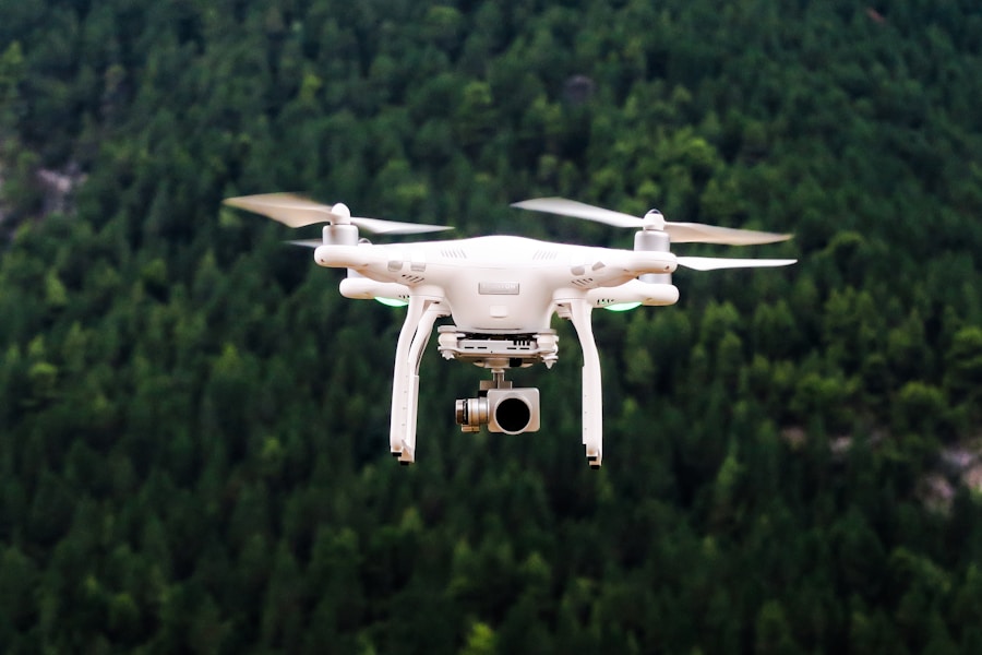
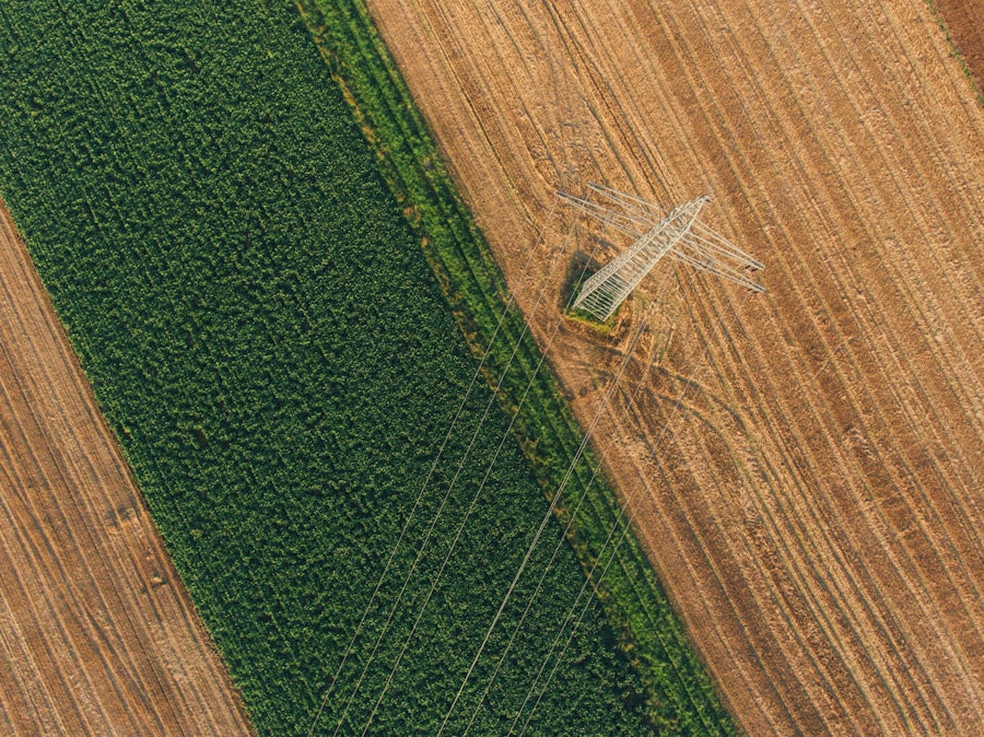
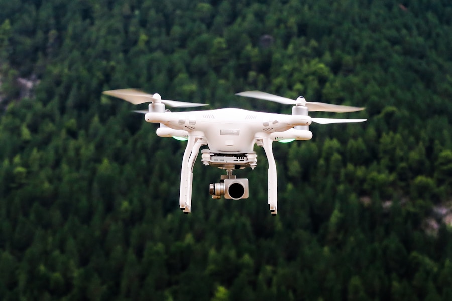
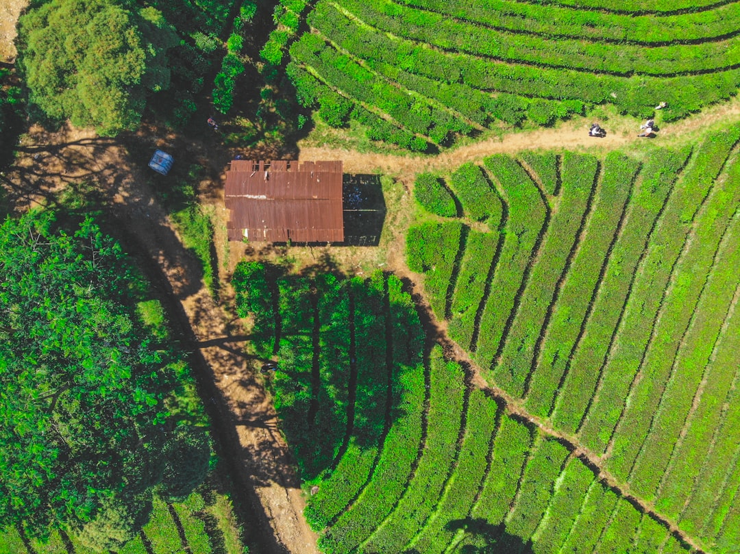
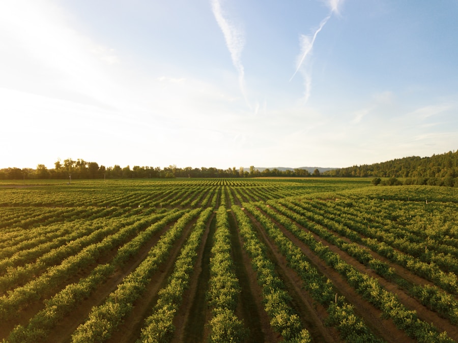
[:en]In recent years, the agricultural sector has witnessed a significant surge in the adoption of drone mapping technology. Unmanned aerial vehicles (UAVs), commonly referred to as drones, have transformed the way farmers manage their crops and land. Equipped with high-resolution cameras and sensors, these remote-controlled aircraft capture detailed images and data of farmland, providing farmers with valuable insights into their crops, soil, and overall farm management.
The popularity of drones in agriculture can be attributed to their ability to rapidly and efficiently cover large areas of land, furnishing farmers with real-time data to make informed decisions. The integration of drone mapping technology in agriculture has unlocked new opportunities for farmers to enhance their crop management practices. By deploying drones, farmers can monitor crop health, detect areas of pest infestation or disease, and assess the overall condition of their fields.
This enables farmers to swiftly identify and address issues that may impact crop yield, ultimately leading to more efficient and sustainable farming practices. Furthermore, drone mapping technology allows farmers to create detailed maps of their fields, providing them with valuable information about soil composition, moisture levels, and topography. This data can be utilized to create precise planting and irrigation plans, resulting in more efficient water and resource management.
Key Takeaways
- Drone mapping technology is revolutionizing farming practices by providing detailed and real-time data for crop management.
- The benefits of using drones for farming include increased efficiency, reduced costs, and improved crop yields.
- Despite the advantages, there are challenges and limitations to consider, such as regulatory restrictions and technical issues.
- Integrating drone technology into farming practices can lead to more sustainable agriculture and better environmental management.
- Successful case studies demonstrate the potential of drone mapping in farming, but regulatory and ethical considerations must also be taken into account for responsible use.
How Drones are Revolutionizing Farming Practices
Enhanced Crop Monitoring
Drones have changed the game by allowing farmers to quickly and accurately survey their fields from above, providing them with a comprehensive view of their entire operation. This aerial perspective enables farmers to identify potential issues early on, such as nutrient deficiencies, irrigation problems, or pest outbreaks, allowing them to take proactive measures to address these issues.
Advanced Data Collection
Furthermore, drones have the ability to collect a wide range of data beyond just visual images. They can be equipped with various sensors, such as multispectral or thermal cameras, to capture detailed information about crop health and environmental conditions. This data can be used to create precise maps and models of the farmland, providing farmers with valuable insights into the overall health and productivity of their crops.
Optimized Crop Management
By leveraging this data, farmers can make informed decisions about planting, fertilization, and pest control, ultimately leading to improved crop yields and resource efficiency. Overall, drones are revolutionizing farming practices by providing farmers with a powerful tool to optimize their crop management strategies and improve overall farm productivity.
The Benefits of Using Drones for Farming and Crop Management
The use of drones for farming and crop management offers a wide range of benefits for farmers. One of the most significant advantages of using drones is their ability to cover large areas of land quickly and efficiently. This allows farmers to survey their fields more frequently and with greater accuracy than traditional methods, providing them with real-time data to make informed decisions about their crops.
Additionally, drones can access hard-to-reach or hazardous areas of the farm that may be difficult or dangerous for humans to access, such as steep slopes or dense vegetation. This enables farmers to gather comprehensive data about their entire operation, leading to improved crop management practices. Furthermore, drones provide farmers with a cost-effective solution for monitoring and managing their crops.
Traditional methods of crop monitoring often require significant time and labor resources, as well as expensive equipment such as satellite imagery or manned aircraft. Drones offer a more affordable alternative, allowing farmers to collect high-quality data at a fraction of the cost. This cost-effectiveness makes drone technology accessible to a wide range of farmers, regardless of the size or scale of their operation.
Additionally, the use of drones can lead to more sustainable farming practices by reducing the need for chemical inputs and water usage through more precise and targeted crop management.
Overcoming Challenges and Limitations of Drone Mapping in Agriculture
| Drone Mapping Technology | Benefits |
|---|---|
| Increased Efficiency | Reduces time and labor required for traditional field mapping |
| Precision Agriculture | Allows for targeted application of resources based on detailed field data |
| Yield Monitoring | Provides real-time data on crop health and potential yield |
| Cost Savings | Reduces input costs and improves overall farm profitability |
While drone mapping technology offers numerous benefits for farming and crop management, there are also challenges and limitations that need to be addressed. One of the main challenges is the complexity of processing and analyzing the large amounts of data collected by drones. High-resolution images and sensor data can generate massive datasets that may be difficult for farmers to interpret and utilize effectively.
Additionally, there may be limitations in the accuracy and reliability of drone data, particularly in challenging environmental conditions such as strong winds or low light. These factors can impact the quality of the data collected by drones, potentially leading to inaccurate or incomplete information for farmers. Another challenge is the regulatory framework surrounding the use of drones in agriculture.
Many countries have strict regulations governing the use of drones, particularly in agricultural settings where they may pose safety or privacy concerns. Farmers must navigate these regulations to ensure compliance with airspace restrictions and privacy laws when using drones on their farms. Additionally, there may be ethical considerations related to the use of drones in agriculture, such as potential impacts on wildlife or neighboring properties.
These challenges highlight the need for continued research and development in drone technology to address limitations and ensure responsible use in agricultural settings.
The Future of Farming: Integrating Drone Technology for Sustainable Agriculture
The future of farming is closely tied to the integration of drone technology for sustainable agriculture. As the global population continues to grow, there is increasing pressure on farmers to produce more food with limited resources. Drones offer a powerful tool for farmers to optimize their crop management practices and improve overall farm productivity in a sustainable manner.
By leveraging drone technology, farmers can make more informed decisions about resource allocation, leading to reduced environmental impact and improved efficiency in food production. Additionally, drones can play a key role in precision agriculture, enabling farmers to apply inputs such as water, fertilizers, and pesticides more precisely and effectively. Furthermore, the future of farming will likely see continued advancements in drone technology to address current limitations and challenges.
Research and development efforts are focused on improving the accuracy and reliability of drone data collection, as well as developing more advanced sensors and analytics tools for farmers to utilize. Additionally, there is potential for the integration of artificial intelligence (AI) and machine learning algorithms to process drone data and provide actionable insights for farmers. These advancements will enable farmers to harness the full potential of drone technology for sustainable agriculture, ultimately leading to more efficient food production and resource management.
Case Studies: Successful Implementation of Drone Mapping in Farming
Monitoring Crop Health in Vineyards
Drones equipped with multispectral cameras have been used to monitor grapevines for signs of stress or disease, allowing vineyard managers to take targeted action to improve crop health. This approach has led to improved grape quality and yield while reducing the need for chemical inputs.
Monitoring Soil Erosion on Farmland
Drones have been used to create detailed topographic maps of fields, enabling farmers to identify areas at risk of erosion and implement conservation measures to protect soil health.
Large-Scale Farming Operations
In Australia, drones have been used to monitor wheat crops for signs of disease or nutrient deficiencies, allowing farmers to make timely interventions to protect crop yield. In the United States, drones have been used for precision planting in corn fields, enabling farmers to optimize seed placement for improved germination rates. These case studies highlight the diverse applications of drone mapping technology in farming and demonstrate its potential to improve crop management practices across different agricultural settings.
Regulatory and Ethical Considerations for Drone Use in Agriculture
The use of drones in agriculture raises important regulatory and ethical considerations that must be addressed to ensure responsible use. In many countries, there are strict regulations governing the operation of drones in airspace, particularly in agricultural settings where they may pose safety risks to manned aircraft or neighboring properties. Farmers must comply with these regulations by obtaining appropriate permits or licenses for drone operation on their farms.
Additionally, there may be privacy concerns related to the use of drones for capturing images or data on farmland. Farmers must consider ethical considerations when using drones to ensure that they do not infringe on the privacy rights of neighboring properties or individuals. Furthermore, there are ethical considerations related to wildlife conservation when using drones in agriculture.
Drones have the potential to disturb wildlife or nesting birds in agricultural settings, particularly during sensitive periods such as breeding season. Farmers must take precautions to minimize potential impacts on wildlife when using drones on their farms. Additionally, there may be ethical considerations related to data privacy when collecting information about farmland using drones.
Farmers must ensure that they handle drone data responsibly and protect sensitive information about their operations from unauthorized access or use. In conclusion, drone mapping technology has emerged as a powerful tool for revolutionizing farming practices and improving crop management in agriculture. The use of drones offers numerous benefits for farmers, including increased efficiency, cost-effectiveness, and sustainability in food production.
While there are challenges and limitations associated with drone technology in agriculture, ongoing research and development efforts are focused on addressing these issues to ensure responsible use. The future of farming is closely tied to the integration of drone technology for sustainable agriculture, enabling farmers to optimize their crop management practices and improve overall farm productivity. By navigating regulatory and ethical considerations related to drone use in agriculture, farmers can harness the full potential of this technology while ensuring responsible and ethical practices on their farms.
FAQs
What is drone mapping technology in farming?
Drone mapping technology in farming refers to the use of unmanned aerial vehicles (UAVs) equipped with cameras and sensors to capture high-resolution images of farmland. These images are then processed to create detailed maps and 3D models of the land, which can be used for various agricultural purposes.
How is drone mapping technology used in farming?
Drone mapping technology is used in farming for tasks such as crop monitoring, soil analysis, irrigation management, and pest control. The high-resolution images and data collected by drones can help farmers make informed decisions about their crops and land, leading to improved efficiency and productivity.
What are the benefits of using drone mapping technology in farming?
The benefits of using drone mapping technology in farming include improved crop management, reduced resource usage, early detection of crop diseases and pests, and increased overall productivity. Drones can cover large areas of farmland quickly and provide detailed, real-time information to farmers.
Are there any regulations or restrictions on using drones in farming?
Yes, there are regulations and restrictions on using drones in farming, which vary by country. In many places, drone operators must obtain a license or permit to fly drones for commercial purposes, including farming. Additionally, there are rules regarding flight altitude, proximity to airports, and privacy concerns that drone operators must adhere to.
What is the future of drone mapping technology in farming?
The future of drone mapping technology in farming looks promising, with continued advancements in drone capabilities, sensors, and data processing. As technology improves, drones are expected to play an even larger role in precision agriculture, helping farmers optimize their operations and make more sustainable and environmentally friendly decisions.[:]


