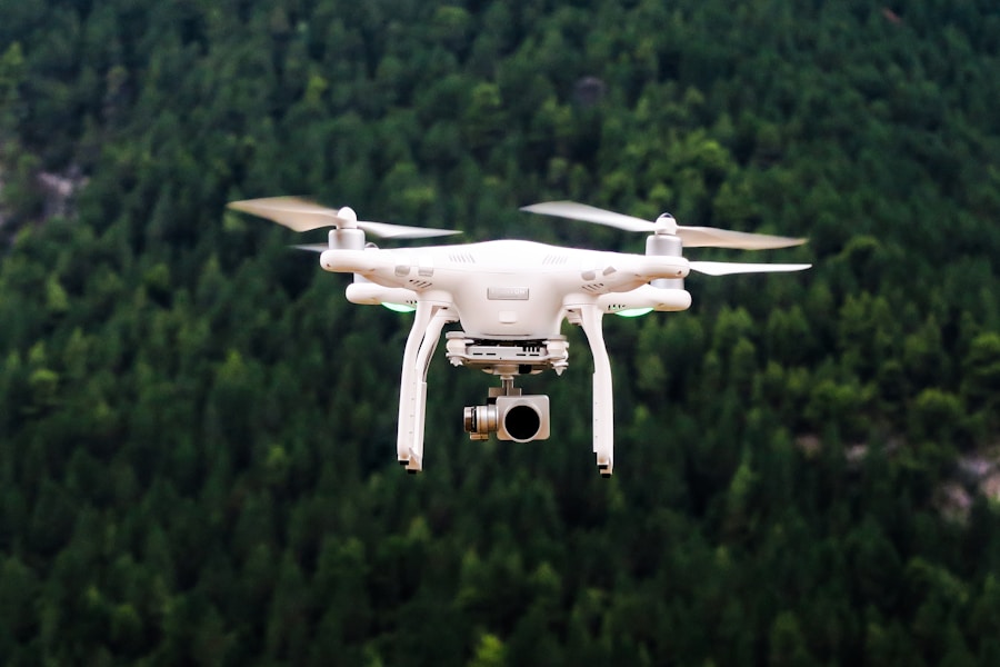
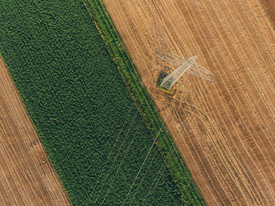
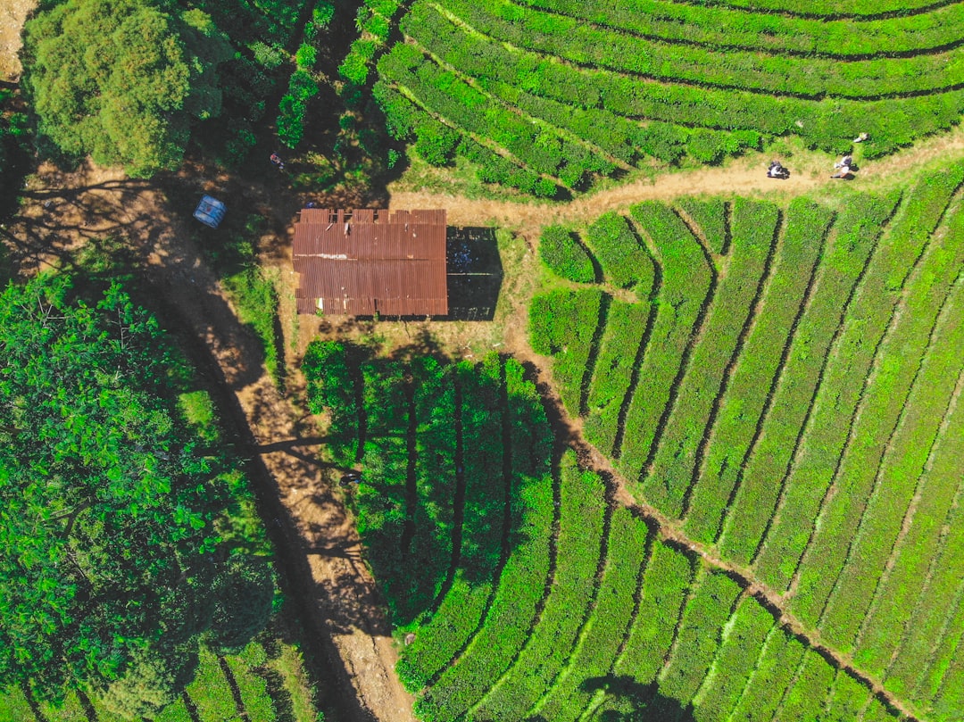
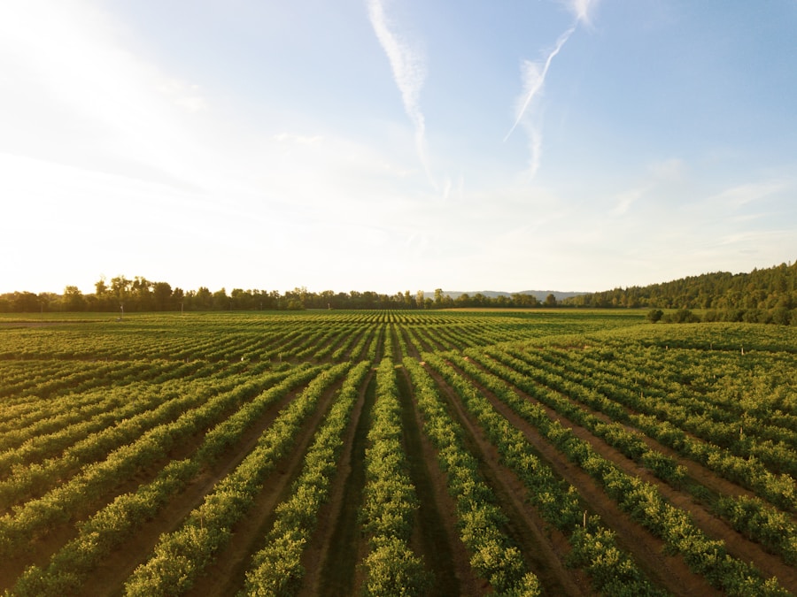
Agricultural drones, also known as unmanned aerial vehicles (UAVs) or unmanned aircraft systems (UAS), have emerged as a transformative technology in the world of modern agriculture. These advanced aerial platforms are revolutionizing the way farmers and agricultural professionals approach various aspects of crop production, livestock management, and resource optimization.
The definition and overview of agricultural drones encompass a wide range of capabilities, from high-resolution aerial imaging and multispectral sensing to precision spraying and targeted fertilization. These drones are designed to provide farmers with a comprehensive suite of tools that enhance decision-making, improve efficiency, and promote sustainable practices. The advantages of using drones in agriculture are numerous, including increased data collection, enhanced monitoring capabilities, and the ability to respond to challenges more effectively.
The rapid growth and adoption of drone technology in the agricultural sector can be attributed to several factors. As the technology becomes more accessible, affordable, and user-friendly, farmers are increasingly recognizing the potential benefits of integrating drones into their operations. The integration of advanced sensors, artificial intelligence, and data analytics further amplifies the capabilities of these aerial platforms, making them an indispensable asset in the pursuit of precision farming and sustainable agricultural practices.
Key Takeaways
- Agricultural drones have revolutionized precision farming and crop monitoring by providing real-time data on crop health and growth patterns.
- Drones are equipped with advanced imaging technology to identify pests and diseases in crops, allowing for targeted treatment and minimizing the use of pesticides.
- Precision spraying and fertilization with agricultural drones reduce chemical usage and ensure even distribution, leading to cost savings and environmental benefits.
- Drones play a crucial role in irrigation and water management by monitoring soil moisture levels and optimizing water usage in agricultural fields.
- Livestock monitoring and management with drones enable farmers to track animal health, behavior, and location, improving overall farm productivity and animal welfare.
Precision Farming and Crop Monitoring
The integration of agricultural drones into precision farming practices has revolutionized the way farmers collect and analyze data. These aerial platforms are equipped with a range of sensors, including high-resolution cameras, multispectral and hyperspectral sensors, and thermal imaging cameras, which enable them to gather detailed information about crop health, growth, and yield. By leveraging this data, farmers can make more informed decisions, optimize resource allocation, and enhance overall productivity.
Drones play a crucial role in monitoring crop health, growth, and yield. They can capture detailed aerial imagery and generate comprehensive maps that provide insights into the condition of crops, the presence of pests or diseases, and the potential for yield variations. This information allows farmers to identify areas of concern, such as nutrient deficiencies, water stress, or pest infestations, and take targeted action to address these issues. By optimizing resource allocation, farmers can improve crop yields, reduce waste, and enhance the overall efficiency of their operations.
The ability to collect and analyze data from agricultural drones has significantly improved decision-making processes for farmers. By integrating the data collected by drones with other precision farming technologies, such as GPS-guided equipment and variable-rate application systems, farmers can develop a more comprehensive understanding of their fields and make more informed decisions regarding irrigation, fertilization, and pest management. This data-driven approach to farming not only enhances productivity but also promotes sustainable practices that minimize the environmental impact of agricultural activities.
Pest and Disease Identification
One of the key advantages of using agricultural drones is their ability to detect and identify pests and diseases at an early stage. Drones equipped with multispectral and hyperspectral sensors can capture detailed imagery that reveals subtle changes in plant health, often before visible symptoms appear. This early detection allows farmers to implement targeted and efficient pest management strategies, reducing the need for broad-spectrum pesticide applications and promoting more sustainable practices.
By leveraging the data collected by drones, farmers can develop targeted pest and disease management plans that address specific issues in their fields. Drones can be used to monitor the spread of pests or diseases, identify the most affected areas, and guide the application of pesticides or other control measures. This precision-based approach not only reduces the overall use of harmful chemicals but also minimizes the environmental impact of agricultural activities, contributing to the long-term sustainability of farming operations.
The integration of drone technology in pest and disease identification has the potential to revolutionize the way farmers approach crop protection. By providing early warning systems and enabling targeted interventions, drones can help farmers reduce crop losses, improve yields, and minimize the use of pesticides. This shift towards more sustainable and environmentally-friendly pest management strategies is crucial in addressing the growing concerns about the impact of conventional agricultural practices on the environment and human health.
Precision Spraying and Fertilization
Agricultural drones have become invaluable tools in the precise application of pesticides, herbicides, and fertilizers. These aerial platforms are equipped with specialized spraying systems that can deliver targeted and accurate doses of these inputs, minimizing waste and reducing the environmental impact of agricultural activities.
Drones equipped with precision spraying capabilities can accurately map and monitor crop conditions, identify areas that require specific treatments, and apply the necessary inputs with pinpoint accuracy. This approach not only enhances the efficiency of the application process but also reduces the overall amount of chemicals used, leading to cost savings and a lower environmental footprint. By minimizing the overspray and ensuring the even distribution of inputs, drones can help farmers optimize crop yields and quality while promoting more sustainable practices.
The integration of precision spraying and fertilization technologies with agricultural drones has the potential to revolutionize the way farmers approach crop management. By leveraging the data collected by these aerial platforms, farmers can make more informed decisions about the timing, location, and quantity of inputs required, leading to enhanced crop yields and improved resource utilization. This precision-based approach to agricultural inputs not only benefits the environment but also contributes to the long-term viability and profitability of farming operations.
Irrigation and Water Management
| Function | Description |
|---|---|
| Field Mapping | Collecting data to create detailed maps of the farmland |
| Pest Control | Using drones to spray pesticides and herbicides precisely |
| Irrigation Management | Monitoring soil moisture levels and optimizing irrigation |
| Crop Health Assessment | Identifying areas of crop stress or disease for targeted treatment |
| Seeding and Planting | Precisely planting seeds and young plants in the field |
Agricultural drones play a crucial role in optimizing irrigation and water management practices. These aerial platforms are equipped with sensors that can monitor soil moisture levels, water availability, and crop water stress, providing farmers with valuable insights to improve their irrigation strategies.
By using drones to map and monitor soil moisture levels, farmers can identify areas of water stress or inefficient irrigation, allowing them to adjust their irrigation schedules and water usage accordingly. This data-driven approach to irrigation management helps to conserve water resources, reduce water waste, and ensure that crops receive the optimal amount of water for their growth and development.
In addition to monitoring soil moisture, agricultural drones can also be used to assess the overall health and water status of crops. By capturing thermal imagery and analyzing plant-based indicators, drones can detect areas of water stress or potential issues with the irrigation system, enabling farmers to take immediate action to address these problems. This proactive approach to water management not only enhances crop productivity but also contributes to the long-term sustainability of agricultural operations by promoting the efficient use of this vital resource.
Livestock Monitoring and Management
The application of agricultural drones extends beyond crop production and into the realm of livestock management. These aerial platforms are increasingly being used to track the movement and behavior of livestock, providing farmers with valuable insights that can improve herd well-being and optimize resource allocation.
Drones equipped with high-resolution cameras and thermal imaging sensors can be used to monitor the location, movement, and overall health of livestock. By tracking the behavior and activity patterns of animals, farmers can identify potential health issues, such as lameness or illness, and intervene promptly to address these concerns. This early detection and intervention can lead to improved animal welfare, reduced veterinary costs, and enhanced productivity.
In addition to monitoring individual animals, agricultural drones can also be used to optimize grazing management and resource allocation. By mapping the distribution of livestock within a pasture or rangeland, farmers can identify underutilized areas and adjust their grazing strategies accordingly. This data-driven approach to grazing management can help to improve the utilization of forage resources, reduce the risk of overgrazing, and promote the long-term sustainability of livestock operations.
Soil and Field Analysis
Agricultural drones are revolutionizing the way farmers and agricultural professionals approach soil and field analysis. These aerial platforms are equipped with a range of sensors that can provide detailed information about the physical, chemical, and biological properties of the soil, as well as the topography and terrain of the land.
By using drones to map soil properties, farmers can identify areas of nutrient depletion, soil compaction, or erosion, and develop targeted strategies to address these issues. This information can be used to guide precision farming practices, such as variable-rate fertilization and targeted soil amendments, ensuring that resources are applied where they are most needed and minimizing waste.
In addition to soil analysis, agricultural drones can also be used to create detailed maps of the terrain and field characteristics. This information can be used to optimize the placement of irrigation systems, identify areas prone to waterlogging or drainage issues, and inform decisions about crop rotation, tillage practices, and other land management strategies. By integrating this data with other precision farming technologies, farmers can develop a comprehensive understanding of their fields and make more informed decisions to enhance productivity and sustainability.
Disaster Response and Emergency Management
Agricultural drones have become invaluable tools in the aftermath of natural disasters, playing a crucial role in assessing crop damage, facilitating relief efforts, and supporting recovery planning.
In the aftermath of events such as floods, droughts, or severe storms, drones can be deployed to capture aerial imagery and assess the extent of the damage to crops, livestock, and infrastructure. This information can be used to guide emergency response efforts, allocate resources more effectively, and inform long-term recovery strategies. By providing a bird’s-eye view of the affected areas, drones can help to identify the most severely impacted regions, prioritize relief efforts, and ensure that resources are directed where they are needed most.
Beyond the immediate response, agricultural drones can also assist in the long-term recovery and planning process. By monitoring the progress of crop recovery, the effectiveness of relief efforts, and the overall impact of the disaster, drones can provide valuable data to support decision-making and inform future disaster preparedness plans. This information can help to improve the resilience of agricultural communities, enhance their ability to withstand and recover from natural disasters, and promote the long-term sustainability of farming operations.
Challenges and Limitations of Agricultural Drones
While the adoption of agricultural drones has been rapidly growing, there are still several challenges and limitations that must be addressed to fully realize the potential of this technology.
One of the primary concerns is the regulatory and legal landscape surrounding the use of drones in agriculture. Governments around the world are still developing and refining regulations to ensure the safe and responsible operation of these aerial platforms, which can vary significantly across different regions. Farmers and agricultural professionals must navigate a complex web of rules and requirements, which can sometimes hinder the widespread adoption of drone technology.
Another key challenge is the issue of privacy and data security. The use of drones in agriculture raises concerns about the collection and storage of sensitive data, such as crop yields, field boundaries, and even the location and behavior of livestock. Addressing these concerns and ensuring the protection of personal and proprietary information is crucial for building trust and acceptance among farmers and the general public.
Additionally, there are technical limitations and the need for further advancements in agricultural drone technology. While the capabilities of these aerial platforms have improved significantly in recent years, there are still areas where improvements are needed, such as battery life, payload capacity, and the integration of advanced sensors and analytics. Overcoming these technical hurdles will be essential for expanding the applications and enhancing the overall effectiveness of agricultural drones.
Finally, the adoption of agricultural drones is not without its barriers. Farmers and agricultural professionals may face challenges in terms of the initial investment, the need for specialized training and expertise, and the integration of drone technology with existing farming practices. Addressing these barriers through education, training, and the development of user-friendly interfaces will be crucial for driving widespread adoption and ensuring the successful integration of agricultural drones into farming operations.
FAQs
What are agricultural drones?
Agricultural drones, also known as ag drones or UAVs (unmanned aerial vehicles), are unmanned aircraft used in farming to monitor crop health, optimize field management, and increase overall efficiency.
What are the functions of agricultural drones?
Agricultural drones have several functions, including crop monitoring, spraying pesticides or fertilizers, mapping fields, and assessing plant health. They can also be used for irrigation management and livestock monitoring.
How do agricultural drones monitor crop health?
Agricultural drones use various sensors, such as multispectral or thermal cameras, to capture images of crops. These images are then analyzed to identify areas of stress, disease, or nutrient deficiencies in the plants.
How do agricultural drones spray pesticides or fertilizers?
Agricultural drones are equipped with tanks and spraying mechanisms that can accurately apply pesticides, herbicides, or fertilizers to crops. This precision application reduces chemical usage and minimizes environmental impact.
What are the benefits of using agricultural drones?
Using agricultural drones can lead to increased crop yields, reduced operational costs, and more sustainable farming practices. Drones also provide farmers with valuable data for making informed decisions about their fields.
Are there any regulations for using agricultural drones?
Regulations for using agricultural drones vary by country and region. In many places, operators must obtain certification and follow specific guidelines for drone use, including flight restrictions and safety measures.


